Cartography is a cool subject all about making and using maps! It's a mix of science, art, and clever techniques used to show places and information clearly. Maps help us understand both real and imagined places, from physical features like roads to abstract ideas like country borders. Today, cartography is really important for modern tools like Geographic Information Systems (GIS).
People have been making maps for a very long time, though it's tricky to say which was the very first. Some ancient wall paintings and carvings from thousands of years ago in places like Çatalhöyük in Turkey or Mount Bego in France might be early examples. The ancient Greeks and Romans also made maps, and Arab scholars like Muhammad al-Idrisi created incredibly accurate world maps, like the 'Tabula Rogeriana' in 1154, which was the best for centuries.
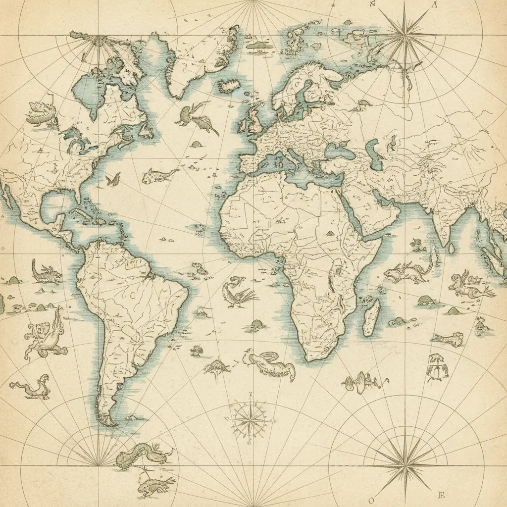
The Age of Discovery, from the 15th to the 17th century, was a huge time for maps. Explorers and new inventions like the compass and telescope made maps much more precise. Martin Behaim made the oldest surviving globe in 1492, and Martin Waldseemüller was the first to use the name "America" on a map in 1507. Gerardus Mercator created his famous projection map, which is still used today for navigation, and he also gave us the word "atlas." Abraham Ortelius then published the first truly modern atlas in 1570. During the Renaissance, maps weren't just practical; they were also seen as beautiful art, showing how worldly and educated someone was. Maps helped people learn about the world, navigate, and even claim new lands.